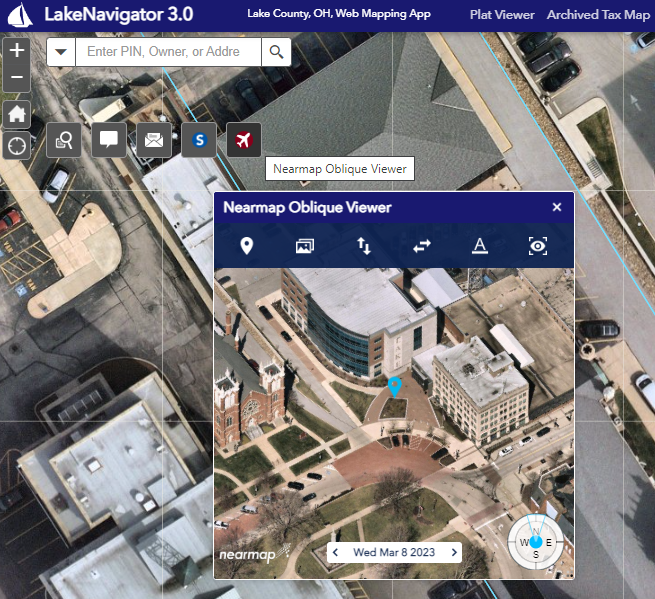
Lake County GIS Department has recently contracted with a New Aerial/Imagery Provider. Similar to the Pictometry Plug in found on the Auditor Public Access site, a new widget the “Nearmap Oblique Viewer” has been added to the Lake County Navigator with access to oblique (or angled) imagery. You can find the new widget just below the search bar with high quality, detailed photos from the last 5 years .
The older photos will be archived and available upon request only.
For any questions feel free to reach out to any one in our office or email [email protected]
Thank you

